Published on March 22 2023 In Scientific news
The Arctic under the gaze of satellites
An article by Valérie Levée, science journalist
In 2008, space agencies made their satellite data freely available and remote sensing entered a new era. For Alexandre Roy, professor in the Department of Environmental Sciences at UQTR, holder of the UQTR Research Chair in Northern Remote Sensing and and affiliated researcher at Institut nordique du Québec, this is a window to see the Arctic from the sky and to better understand how it is being transformed by climate change.
Seen from space, the Arctic is turning green. "The images from NASA's Landsat program show that there has been a general greening of northern regions over the past 30 years," says Alexandre Roy. It's not the tree line that's migrating north, but rather a " shrubbing ", a proliferation of shrubs, especially in the transition zone between the taiga and the tundra.

The reason the North is greening is because temperatures are rising, spring arrives earlier, and autumn last longer. For plants, this means a lengthening of the growing season and photosynthetic activity that starts earlier in the spring and extends into the fall. A priori, this is good news for the capture of atmospheric CO2. These greening spaces could become carbon sinks.
But this may not last, because, explains Alexandre Roy, "if it's warm, it's good for vegetation, but if there is more vegetation, evapotranspiration increases and there could be water stress and, consequentially, a limit to plant growth.
It is therefore difficult to predict whether the North will be a sink or a source of carbon. This uncertainty is compounded by the thawing of the permafrost. We do not really know how this will affect carbon flows. To get a clearer vision, Alexandre Roy looks at the Arctic through the eyes of satellites equipped with microwave sensors.
Landsat images taken in the visible portion of the electromagnetic spectrum reveal greening but do not detect soil properties. Fortunately, microwaves, which range from millimetres to metres, are more informative and microwave sensors offer great potential for measuring soil moisture, i.e. the water contained in the soil and possibly available to plants.
During his postdoctoral fellowship, Alexandre Roy used microwave data from the SMAP (Soil Moisture Active Passive) satellite launched in 2015 by NASA and the SMOS (Soil Moisture Ocean Salinity) satellite launched by the European Space Agency in 2009. Field measurements, now allow his team to validate and calibrate soil moisture measurements with SMAP and SMOS data. Azza Gorrab, a postdoctoral fellow, and PhD students Juliette Ortet and Hesam Salmabadi are working on this project. Once well validated, this method will be used on a larger scale to verify if the Arctic is drying.
Looking under and into the snow
Microwaves do not only pass through clouds. "For very long microwaves, like those in L-band, the snow is transparent, and we can measure the characteristics of the ground under the snow," explains Alexandre Roy. PhD student Alex Mavrovic has shown that CO2 escapes from permafrost during the winter even when the ground is frozen. Since these winter emissions depend on ground temperature, Juliette Ortet is now working on using satellite microwave data to measure the ground temperature under the snow cover to quantify the carbon emitted by the permafrost in winter.
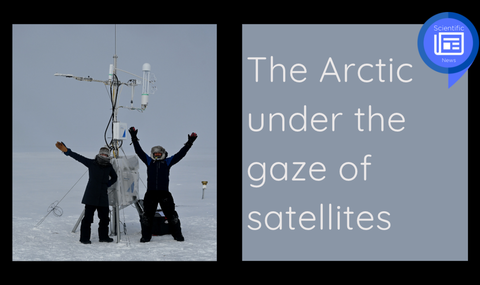
However, since L-band microwaves are insensitive to snow, they cannot measure the depth of the snow cover. This requires the use of shorter microwaves, close to the size of snow grains. Satellites are not equipped to make measurements in these wavelengths, an issue the Canadian Space Agency's Terrestrial Snow Mass Mission plans to remedy. Alexandre Roy is participating in the mission, in collaboration with the University of Waterloo. However, before launching a satellite, the method must be validated. This is a component of Alex Gélinas' PhD project. The snow depth must be measured in the field and correlated with measurements taken by an airborne radar. In late February, Alexandre Roy and his team spent three days measuring snow depths. "We use the same radar that will be on the satellite, but we put it on board an aircraft. For three days, we measured the snow to confirm that what the radar sees is the right amount of snow," says Roy.
These remote sensing measurements can be fed into ecosystem models that calculate carbon fluxes between the Earth's surface and the atmosphere and assess whether the Arctic will be a carbon sink or source. The North is not what it used to be, and we don't yet know what it will be like in the future, or what role it will play in climate change, but remote sensing should allow Alexandre Roy to provide some answers.
To learn more :
1. Bayle, A., Roy, A., Dedieu, J.-P., Boudreau, S., Choler, P., and Lévesque, E. (2022) Two distinct waves of greening in northeastern Canada: summer warming does not tell the whole story, Environmental Research Letters, 17: 064051
https://iopscience.iop.org/article/10.1088/1748-9326/ac74d6
2. Royer, A., Domine, F., Roy, A., Langlois, A, Marchand, N., and Davesne, G. (2021) New northern snowpack classification linked to vegetation cover on a latitudinal mega-transect across Northeastern Canada, Ecoscience,28: 225-242
https://doi.org/10.1080/11956860.2021.1898775
3. Derksen, C., Lemmetyinen, J., King, J., Belair, S., Garnaud, C., Lapointe, M., Crevier, Y.,
Burbidge, G. and Siqueira, P. (2019,). A Dual-Frequency Ku-Band Radar Mission
Concept for Seasonal Snow.
IGARSS 2019 - 2019 IEEE International Geoscience and Remote Sensing Symposium, 5742-5744.
 Science News
Spotlight on Northern Research | An initiative of Institut nordique du Québec
To celebrate Quebec's excellence in northern research and to highlight the various challenges and issues related to these territories, Institut nordique du Québec offers you a series of articles dedicated to the research conducted in its community.
Over the months, you will discover a multidisciplinary research community whose strength lies in the complementary expertise of its members. You will meet individuals who share a strong attachment to the North and who are dedicated to producing, in collaboration with the inhabitants of the region, the knowledge necessary for its sustainable and harmonious development.
You are invited to relay this and subsequent articles to your network, thus enabling the greatest number of people to discover the different facets of northern research and the many faces that animate it. Together for the North!
Back to news